Geographical position
Uşak and its surroundings have had a strategic importance throughout the ages, as it is located on the route connecting the Aegean Region to Anatolia. This multicultural geography within its borders contains archaeological values, and the ancient city of Blaundus is one of them. The ancient city is located approximately 2 km northeast of Sülümenli village of Ulubey district, 30 km south of Uşak. Blaundus is located between the Phrygian and Lydian regions. Therefore, it has been influenced and shaped by different cultures.
It is the ancient city that attracts the most visitors because it is inside the Ulubey (Great Uşak) Canyons, which is a natural wonder with the greatest tourism potential of the Uşak province. Ulubey Canyon is the second largest canyon in the world after the Grand Canyon, located within the borders of the State of Arizona in the USA. The city, which was established on the top and slopes of a peninsula surrounded by a deep canyon on three sides, has a natural defense system with its location. On the surface, the ruins of the city are spread over a width of 820-520m. The city has been registered as a 1st degree protected area.
Origin of the name Blaundus


It is claimed that the name “Blaundus” is based on the native Luwian language and means “Asmalı, Asma Bol”. On the other hand, it is accepted that the name of the city is derived from a Greek root meaning “hill”. Looking at the inscriptions, coins and ancient sources, it is known that the name of the city was written in different ways. The earliest records in which his name is mentioned are coins. Its name is mentioned as “Mlaundos” in Hellenistic period coins. It is claimed that the name Mlaundos was derived from the native Anatolian language and later adapted to Greek and took the form of “Blaundus”. However, the name of the city is mentioned as “Blaundeon” on the coins during the Roman period. The famous geographer Strabo, the famous scholar Ptolemy and the Italian scientist Ptolemy mentioned the name Blaundos in their works. In 1845, when Hamilton found an inscription known to come from this city, it became clear that the name of the ancient city was Blaundus.
History of the city
Alexander the Great, who ended the domination of the Persians on the lands of Western Anatolia in 333 BC, appointed Antigonos I Monophtalmos, one of his generals, as the governor of the Phrygian region. After Alexander’s death in Babylon in 323 BC, all the lands he conquered were divided among his generals. The lands, including the vicinity of Uşak, continued to remain in Antigonos I. With the death of Antigonos, who is now 80 years old, in the Ipsos War, which was fought near the Çay district of Afyonkarahisar in 301 BC, most of Anatolia came under the rule of Lysimachos, the Thrace governor of Alexander the Great.
These three kings are of Macedonian origin. Based on the inscription found near Blaundus that reads “Macedonian Blaundians”, it is thought that the city was founded in the last quarter of the 4th century BC or the first quarter of the 3rd century BC. Although the information about the foundation of the city and its historical process before the Roman period is not sufficient, the ruins preserved until today show that the history of the city dates back at least to the Hellenistic period.


Blaundos was included in the Pergamon Kingdom with the peace of Apameia in 188 BC. It entered a new period with the domination of the whole of Anatolia by Rome from 133 BC. As can be understood from the finds and inscriptions, it is highly likely that the city lived its heyday in the 1st century AD. However, it was damaged by an earthquake in the 60s AD. After 396 AD, compulsory city walls were built against external threats with the law arranged by Arcadius.
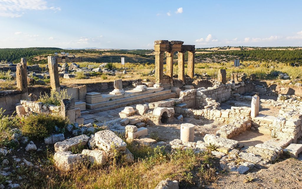
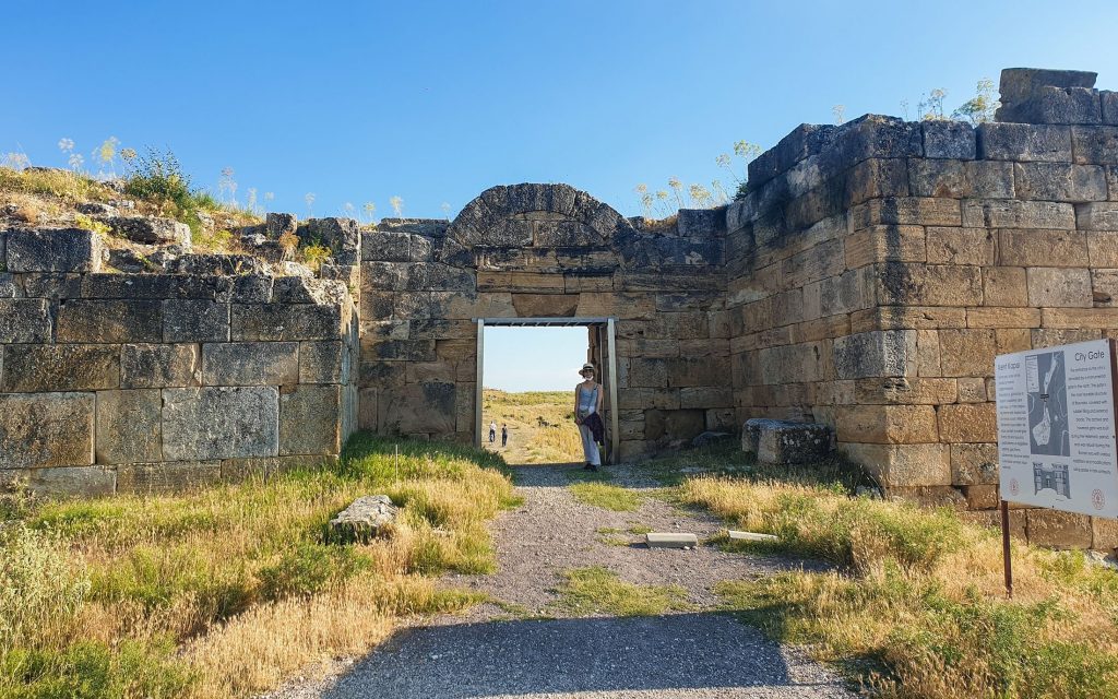
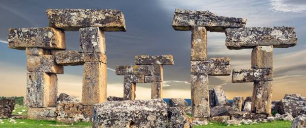
Located on a peninsula surrounded by deep valleys, the city’s important structures include a castle, temples, theatre, stadium and rock tombs. Some remains of the city have survived to the present day. The entrance arch of the northern walls built in the Hellenistic period, the mint sections, administrative buildings, some parts of the fortification walls, the temple in the Ionian style, the temple of the Roman Emperor Claudius, the stadium, which is located in the middle of the city, can be given as examples. The theater building was built on the hillside outside the city walls. The stage of the theater was completely destroyed. Some of the seats remained intact.
Source: Uşak Municipality
